Lecture in Rhiwlas village hall about effect of Penrhyn strike on Pentir and Rhiwlas
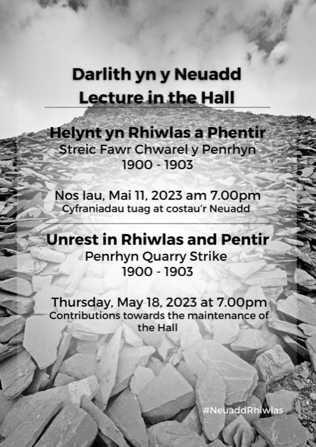
Lecture by Cynrig Hughes, Thursday May 11th, Rhiwlas Village Hall at 7:00pm. “Unrest in Rhiwlas and Pentir – Penrhyn Quarry Strike 1900 – 1903” Contributions towards the maintenance of the hall.
Lecture in Rhiwlas village hall about effect of Penrhyn strike on Pentir and Rhiwlas Read More »